 One of the tools that Brown University's Digital Archaeology Laboratory manages is an enterprise drone platform, consisting of:
- a DJI M350 RTK drone
- a Zenmuse L2 lidar sensor
- a Zenmuse P1 full format camera
- a D-RTK 2 GNSS base station
For LiDAR missions, working with a drone and a smaller sensor like the L2 allows us to fly lower and slower over the surface of archaeological sites, creating much denser point clouds than is possible using crewed aircraft. We can also adjust the scan angle, allowing for data capture from vertical surfaces like cliffs and buildings. As a result, we are able to create much more detailed models of a diverse series of archaeological sites and landscapes than is possible using sensors that are mounted on large aircraft, including those covered by dense forests. In addition, the P1 camera's full frame format and high resolution allows for higher flights and greater geographic coverage, as well as improved performance for photogrammetric modeling.
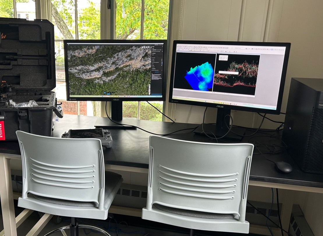
Following data collection, we work with:
- DJI Terra
- Terrasolid
- R
- CloudCompare
- QGIS
- ArcGIS Pro
Dr. Parker VanValkenburgh regularly offers training to groups of students from Latin America in processing drone lidar using CloudCompare. Si ese tipo de taller fuera de interés para usted, mándale un mensaje en parker_vanvalkenburgh@brown.edu. Se tiver interesse num workshop, é so contatar ele em seu endereço: parker_vanvalkenburgh@brown.edu.