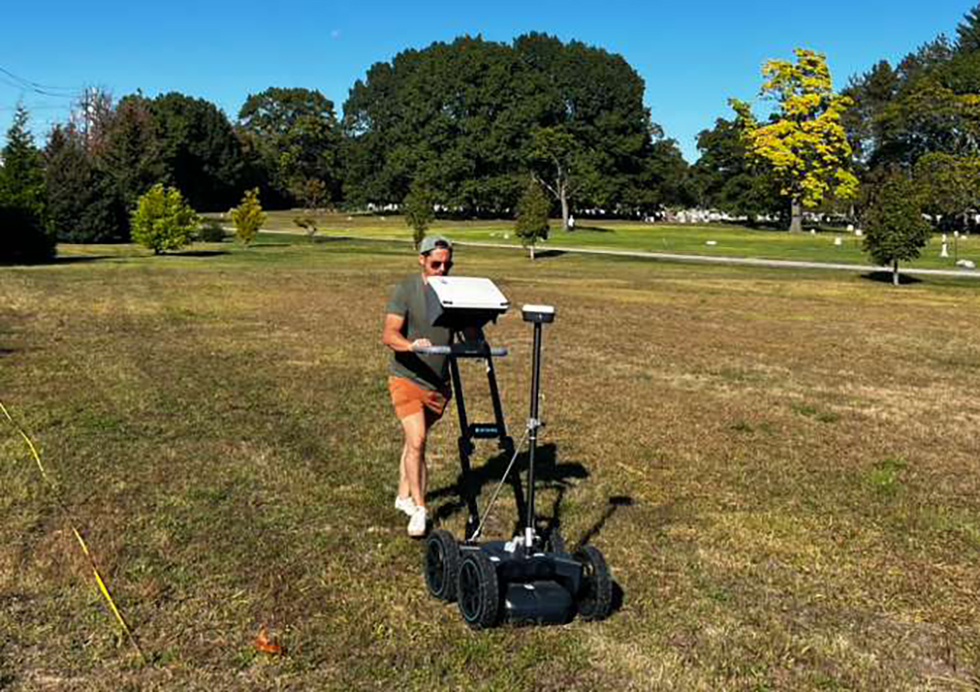
 The JIAAW maintains a Proceq GS8000 Ground Penetrating Radar (GPR) system for geophysical prospection at archaeological sites. The GPR system utilizes radar waves to produce two- and three-dimensional models under the earth’s surface for archaeological exploration. This allows archaeologists to obtain greater subsurface site mapping coverage than excavation, allowing us to preserve the archaeological record, reduce the amount of costly artifact storage and conservation, and make smarter decisions about where we should limit excavations. This method also allows for more ethical collaborations with community stakeholders whose values oppose invasive excavations.
Our GPR system is one of the only to use stepped-frequency continuous waves (SFCW) to obtain both greater depths and feature resolution than other GPR companies. GPR works by sending pulses of oscillating radar waves into the ground by way of an antenna array. The Proceq GS8000 can propagate both high and low frequency waves between a velocity of 40-3440 MHz, which is a wider range than many GPR systems. These waves “bounce” off subsurface features and return to the antenna, allowing archaeologists to determine the depth, density, geometry, and sometimes even material composition of features. When we push around a GPR cart we can often map features over three meters deep and at a resolution of several centimeters (in optimal conditions)! 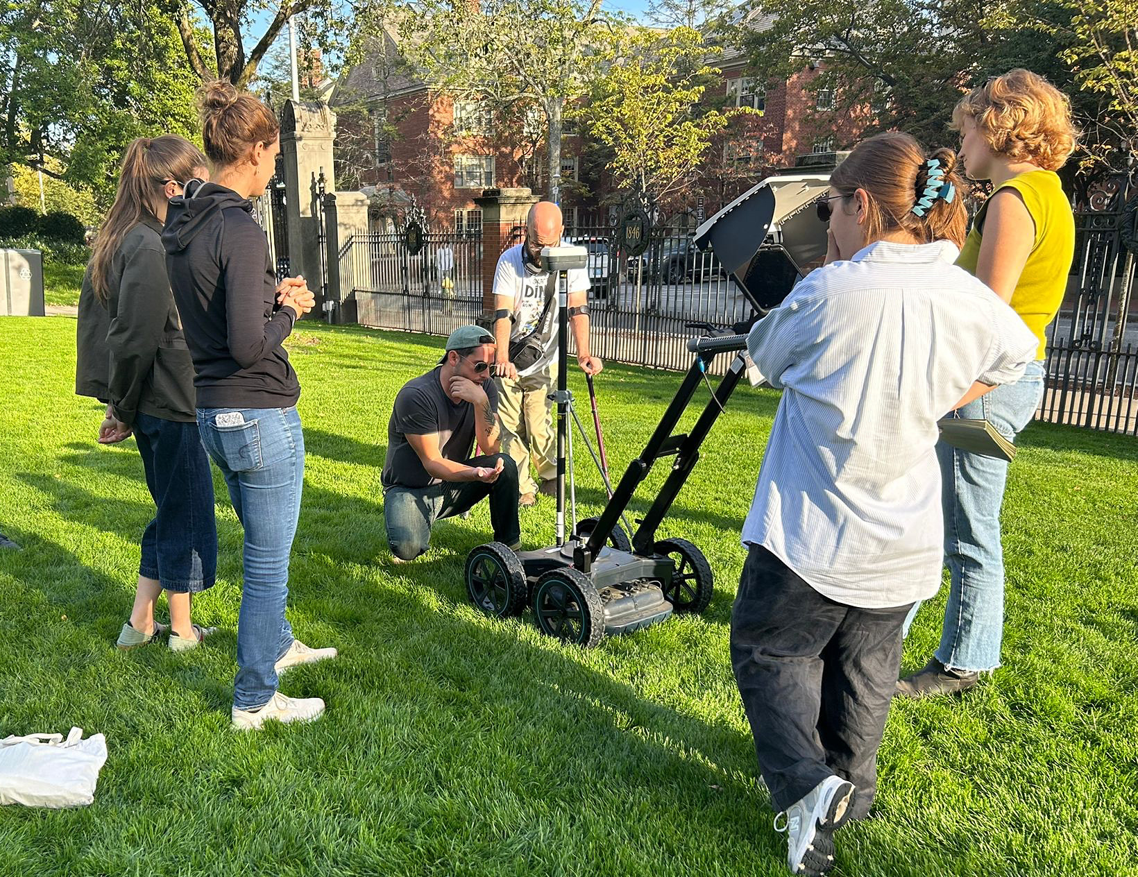
GPR is useful for identifying and mapping archaeological features such as stone walls, cooking hearths, trash middens, canals, and even burials. These features are identified as a result of their influence on the ambient electromagnetic waves that pass through and emanate from the earth. Some archaeological features, such as large metal objects, even manipulate these fields because of their material properties. With enough planning hundreds of square meters of archaeological features can be mapped in very little time.